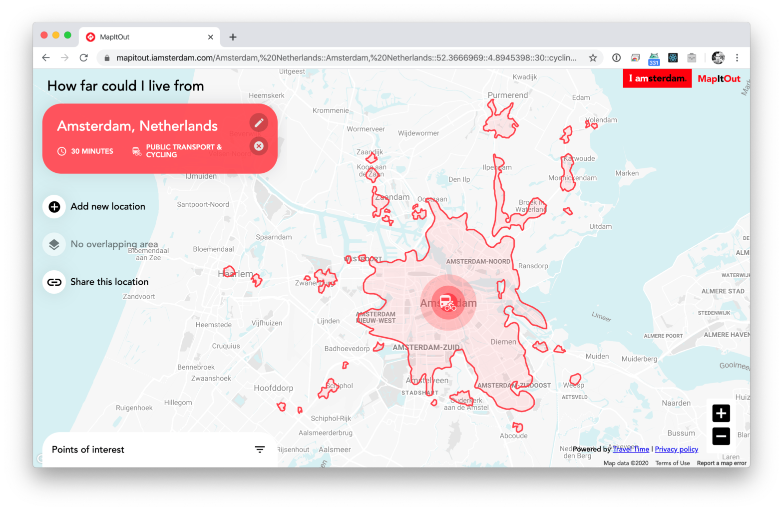
The folks at IAmsterdam have released a map that measures distances not in miles / kms but in time. Select a spot + a means of transportation + a desired travel time and it’ll show you how far away (in time) you can get. From what I can tell European countries such as Belgium, France, …
Tag Archives: mapping
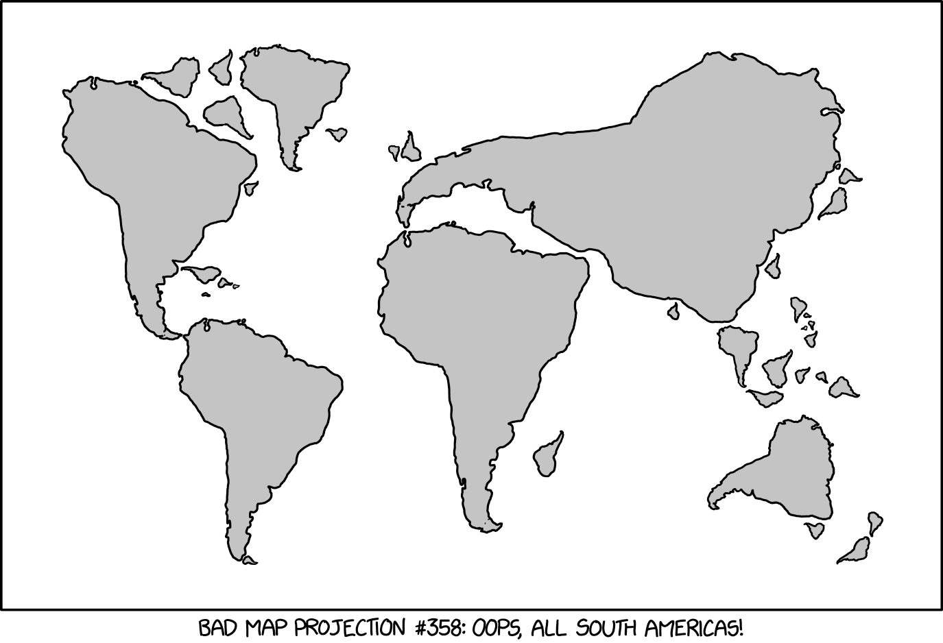
Bad Map Projection: South America
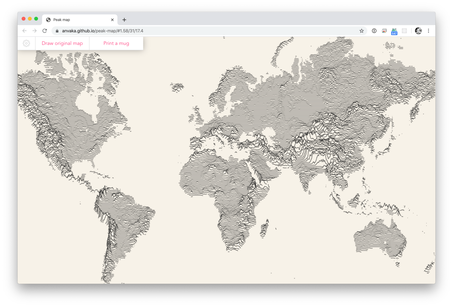
Peak Map
Peak Map allows you to visualize elevation of any area on the map with filled area charts (also known as a ridgeline) Think of Joy Division’s famous “Unknown Pleasures” album cover, but then as a map of the world. What surprised me is that here’s no set of pre-generated custom map tiles, but they are …
Mercator – It’s a flat, flat world!
In the 16th century, Gerardus Mercator, a Flemish cartographer devised a new way of depicting the world on a flat plane. We set off to explore his map in order to illustrate his biggest blunders, unearth curious facts and explain the advantages that make this representation of the globe still relevant today. I especially like …
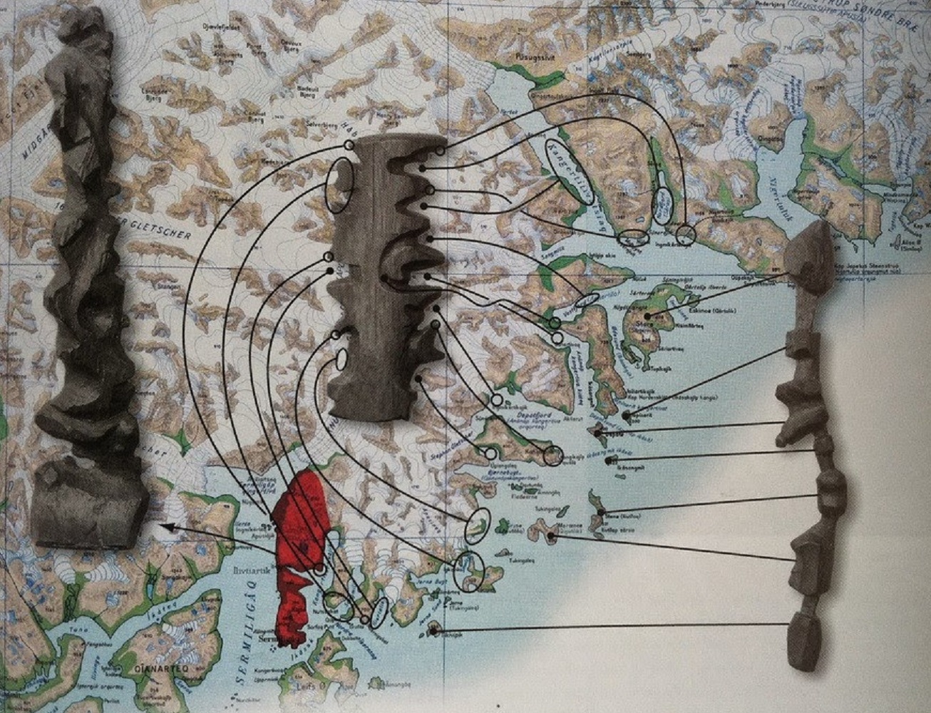
Inuit Cartography: A Coastline Map Carved out of Driftwood
In Kalaallit Nunaat (Greenland), the Inuit people are known for carving portable maps out of driftwood to be used while navigating coastal waters. These pieces, which are small enough to be carried in a mitten, represent coastlines in a continuous line, up one side of the wood and down the other. The maps are compact, …
Continue reading “Inuit Cartography: A Coastline Map Carved out of Driftwood”
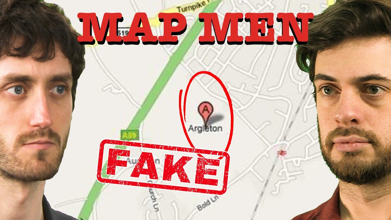
Can you spot a Map Trap?
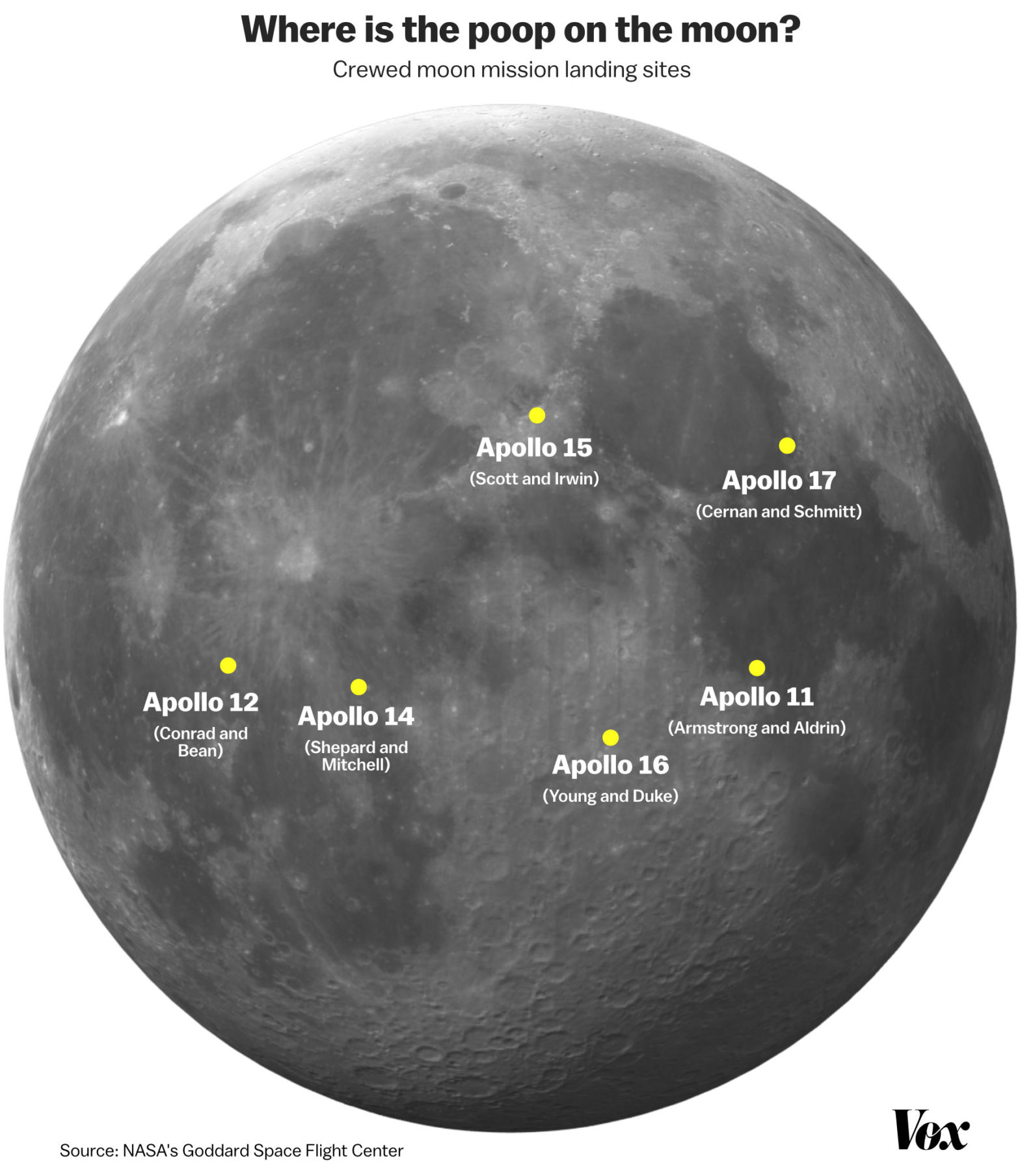
Not your typical map: “Where is all the poop on the moon?”
Ever wondered what the astronauts that landed on the moon did with their waste? Well, they ditched them on the moon itself. It’s been nearly 50 years since the Apollo 11 moon landing. Neil Armstrong’s iconic footprint is still there, undisturbed; there’s no atmosphere, no wind on the moon to blow it away. But the …
Continue reading “Not your typical map: “Where is all the poop on the moon?””
what3words – The addressing system to uniquely identify locations using just three words
GeoPuzzle
MySQL ST_Distance_Sphere
Polyfill
One of the cool things about MySQL 5.7 is the fact that it sports a few spatial convenience functions (since 5.7.6), allowing one to do operations on geometric values. One of those convenience functions is ST_Distance_Sphere, which allows one to calculate the (spherical) distance between two points. Recently I was working an project where I …