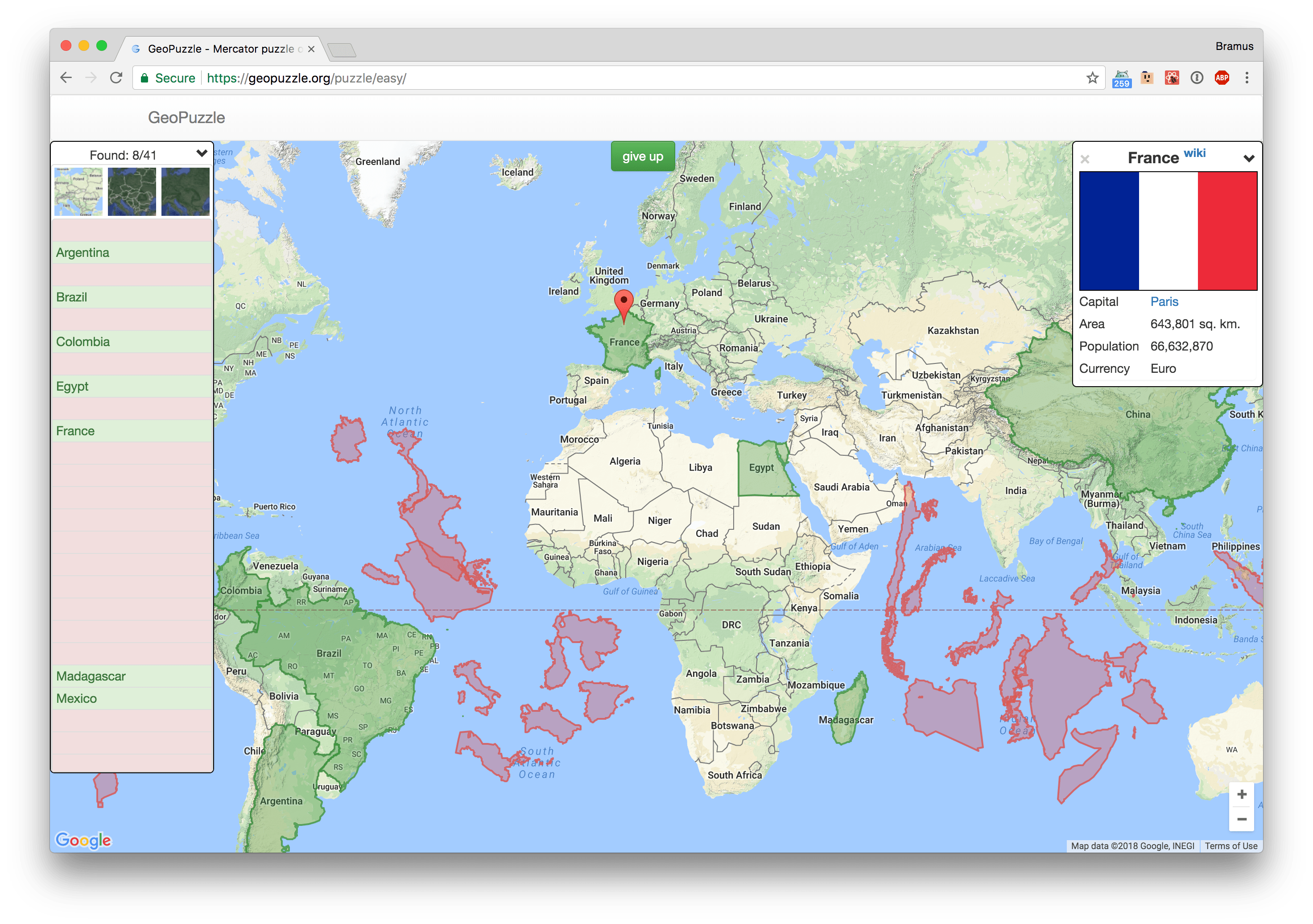
Oh I have a weak for this kind of puzzles, especially since it exposes the problem our maps have due to the Mercator Projection. Could spend all day with this.
In the Puzzle you need to drag the shape of the territory to the right place. Just like in childhood we collected pictures piece by piece, so here you can collect a country from regions or whole continents from countries!
Think of it as the the Mercator Puzzle I created a long time ago with a fixed assignment. Next to this selection of countries you can also puzzle with countries per continent or regions.
Furthermore they also provide quizzes:
In the Quiz you need find the country by flag, emblem or the capital. Did you know that Monaco and Indonesia have the same flags? And that the flags of the United States and Liberia differ only in the number of stars? So, these and other interesting things can be learned and remembered after brainstorming right now!
GeoPuzzle (Easy) →
GeoPuzzle (All Countries) →
🌍 If you’re new to mapping & projections, or have no clue why the Mercator projection is long overdue, this video from Vox sums it up quite nicely: