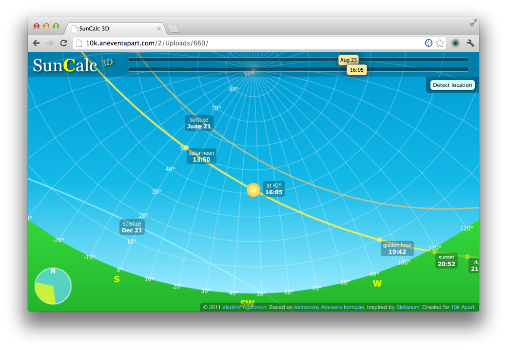
SunCalc 3D is an HTML5 application with a 3D panoramic view of the sky that shows how the Sun moves during a particular day for a given location, along with important sunlight times such as sunrise, sunset, dawn and dusk. SunCalc 3D calculates sun data on the fly, uses Canvas for rendering, and Geolocation, Google Geocoding and FreeGeoIP.net for handling location
very interesting information for locating an address relative to its position on the planet and the sun, but I’m not really able to use it effectively to make decisions about sun and shade paths relative to the height of my focal point area and the surrounding buildings and trees.
perhaps some more instructions about how to use it? how to save it? Or how even to change locations… I had to open a new browser to get to a new location!
thanks for your good work! 😉
Hi,
I really like this tool, works very well! Seems to be offline now, can you republish it?