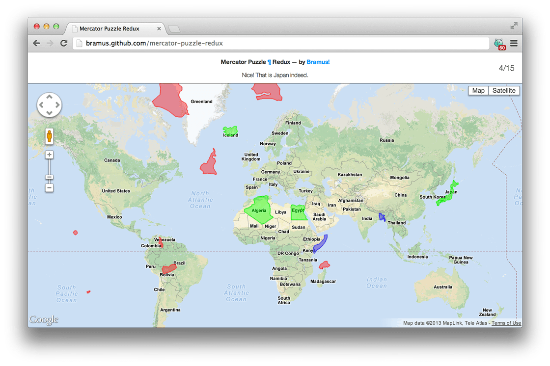
The aforementioned Mercator Puzzle is quite nice, but it’s static: you always get presented the same 15 countries at the same 15 starting positions.
To counter that, I decided to make the thing dynamic: you get to place 15 countries chosen from a set of 178 in total.
If you don’t know the anwser, just double click a country to let the computer place it. Above that you’ll get to know the name of the country when it’s placed.
Now, this thing wasn’t just whipped up in 5 minutes. Reason for this is that the Google Maps API does not provide a method to moving a google.maps.Polygon. I ended up writing a Google Maps extension allowing one to do this.
After that, it only took 5 minutes indeed 🙂

Can I get to the original Mercator puzzle?!? It may have been static but the set of countries was particularly effective at illustrating distortion. I’ve used in for my GIS classes for years! The new one is a poor substitute in a learning context. Bunches of very small countries are pretty much useless in understanding distortion over the projection.
I’ll accompany Karen in asking for the possibility to play the original version. The Mercator puzzle is a great idea (thanks a lot!) and I understand making the country list random makes it more fun for replaying, but in an educational sense the original was much better. The original version with big and northern areas like Greenland was a great way to show the meaning of projections to kids in geography classes. With the new version there’s a big risk that the selection consists mostly of really small (and not well known) mid-latitude countries which diminishes the puzzles educational power.
So thank you anyways for the puzzle, but the possibility to also play the original version would be wonderful!