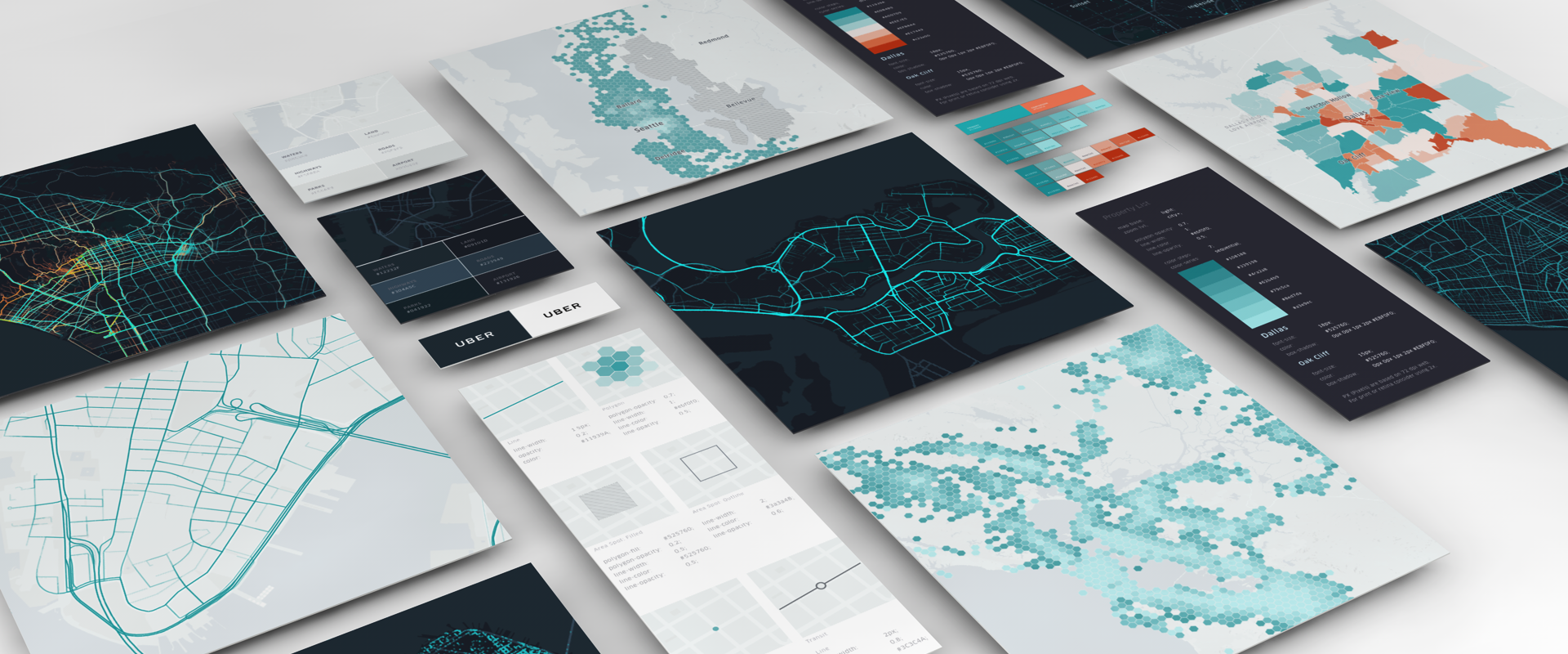
At Uber, we use maps for everything — visualizing millions of geo data points, monitoring road conditions, and advocating for policy change in cities around the world.
Over the last few years we have experienced immense growth. As a result, we have many teams across the organization producing map visualizations for a wide range of needs. We saw a need to create a unified system to guide the creation of consistent, high-quality, data-driven maps.