The Jefferson Grid

jefferson_grid_2

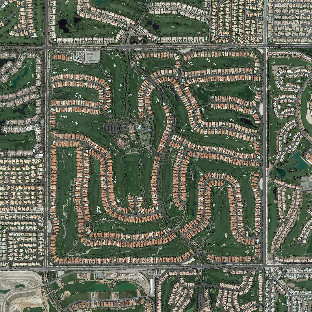
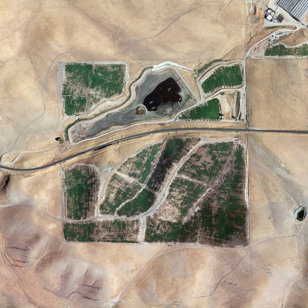
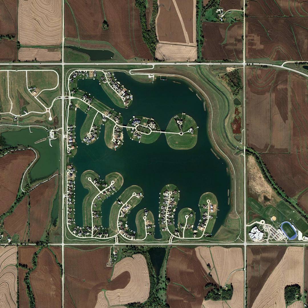
The aforementioned Sad Topographies reminded me of The Jefferson Grid, an Instagram account curating a list of areal photos depicting a grid with cells the size of one square mile each, spread throughout the United States.

Looking from the window seat on a long plane flight, you might have noticed that large swaths of the United States are divided into a latticework of farms, towns and forests. The cells of that grid, each one mile to a side, are the visible result of a land planning system first proposed by Thomas Jefferson more than two centuries ago.

jefferson_grid_1jefferson_grid_3

The Jefferson Grid →
What is The Jefferson Grid? →

Published by Bramus!

Bramus is a frontend web developer from Belgium, working as a Chrome Developer Relations Engineer at Google. From the moment he discovered view-source at the age of 14 (way back in 1997), he fell in love with the web and has been tinkering with it ever since (more …)

Join the Conversation

1 Comment

Leave a comment

Your email address will not be published. Required fields are marked *

This site uses Akismet to reduce spam. Learn how your comment data is processed.