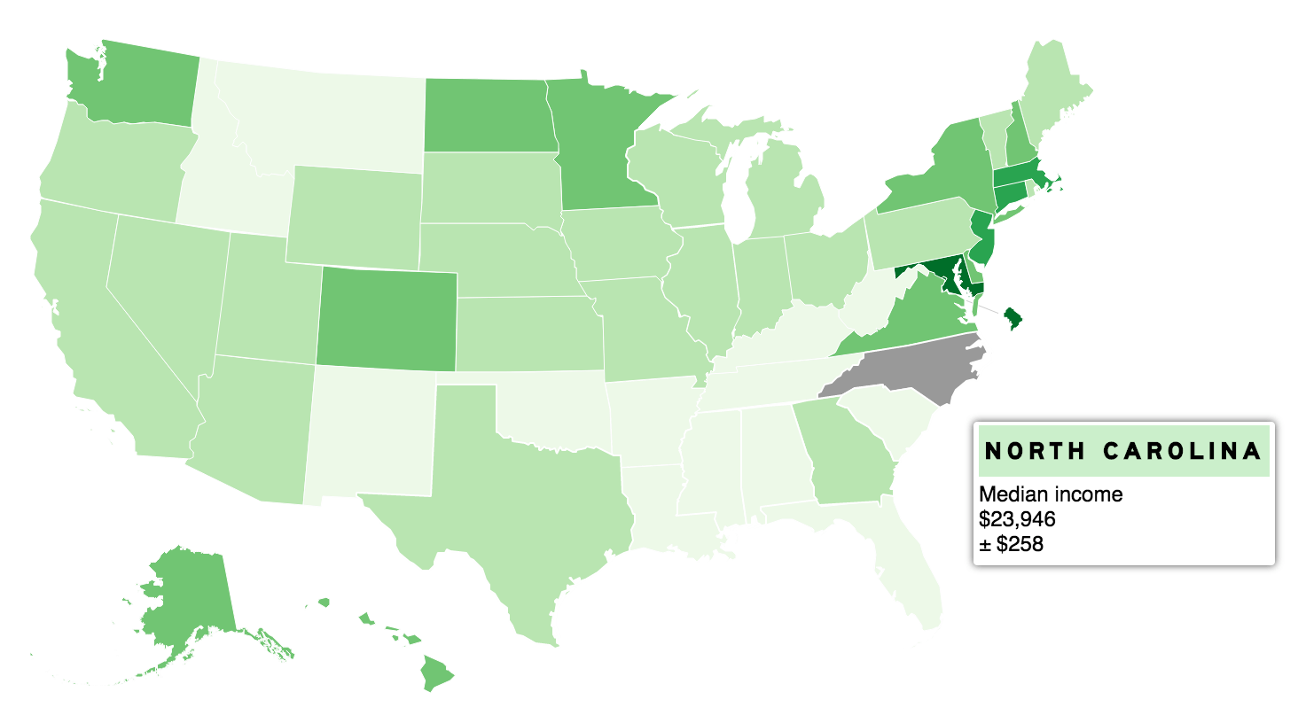
Landline is a JavaScript library that creates SVG maps from GeoJSON. It comes with Stateline, which makes creating responsive U.S. state and county maps easy.
Also perfectly possible to load in your own GeoJSON file, packed with MultiPolygons.
A rather geeky/technical weblog, est. 2001, by Bramus

Landline is a JavaScript library that creates SVG maps from GeoJSON. It comes with Stateline, which makes creating responsive U.S. state and county maps easy.
Also perfectly possible to load in your own GeoJSON file, packed with MultiPolygons.