It’s been 1.5 years already since I created PS_BRAMUS.GoogleMapsTileCutter, a Photoshop Script which automatically chops up a large image into tiles for use with Google Maps. Today a huge update was released.
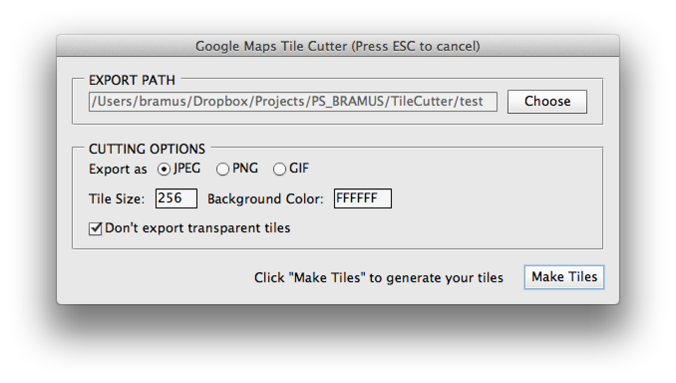
Sparked by an initial pull request by Nick Springer, PS_BRAMUS.GoogleMapsTileCutter now sports a UI dialog in which you can set the options before starting the cutting process. In the previous version one had to change these in the source of the script itself.

One of the new features that was added is the option to prevent empty tiles from being saved. Can come in handy to save bandwidth. Above that the processing was hugely improved for files with lots of layers: right before the tilecutter kicks in the whole image is flattened for much faster processing.
Finally a little feedback dialog was added to give feedback during the processing the image.

Here’s the script in action
Output is still the same … but faster 🙂
I did used this, But it is “error 22 window does not have a constructor”. for every version photoshop
hahaha what the helll does it create i get like a gazillion image?!
I tested a porttrait orientated image and see tons of gray imaegs, i guess its adding some kind of padding around it for rhe zooming. Isnt there a a different solution for that, like simply use a div in a certain size?
This project is a tile cutter, so it’s expected that you get back “like a gazillion image” (sic).
Because the Google Maps tile viewer requires a square input, the image is first resized to be square. Therefore the extra padding is also expected.
PS photoshop still has this Zoomify export function looks a bit like this.