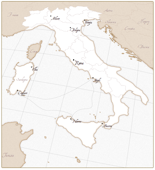
A simple and lightweight framework for creating beautiful, interactive vector maps.
This one’s really wicked: convert an ESRI shapefile to SVG and let it render via Kartograph. Supports several projections and visualizations
A rather geeky/technical weblog, est. 2001, by Bramus

A simple and lightweight framework for creating beautiful, interactive vector maps.
This one’s really wicked: convert an ESRI shapefile to SVG and let it render via Kartograph. Supports several projections and visualizations
great! thanks.
Why the recent bloglove for maps?
Always had a passion for maps. The recent love is due to a recent code experiment I’ve done: tweet (rendering two shapefiles (PolyLines) and a geocoded image on top of Google Maps)
hmm interessant…
(*denkt even aan een hobby van m’n vader + oude kaarten*)